File:Mainland - Political Map.jpg
From Sourcebook Wiki
Revision as of 17:27, 15 February 2016 by Detarame (Talk | contribs) (Finalized geographic and political map of the Alexandrian Mainland.)
Size of this preview: 800 × 418 pixels. Other resolutions: 320 × 167 pixels | 1,708 × 892 pixels.
Original file (1,708 × 892 pixels, file size: 1.04 MB, MIME type: image/jpeg)
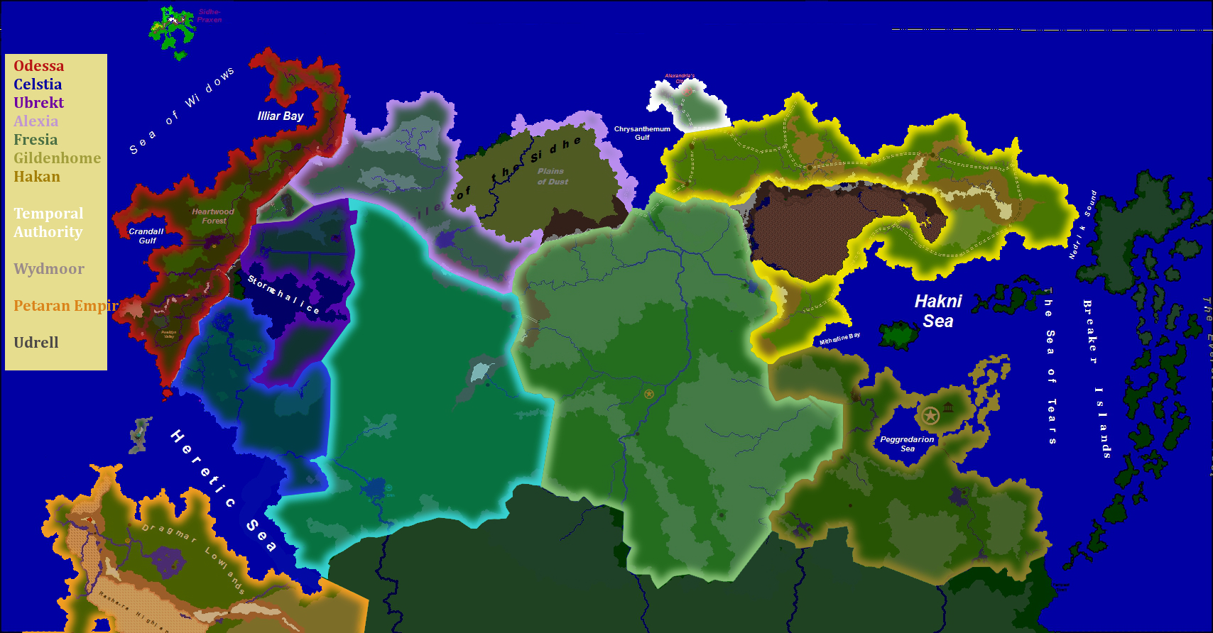
Finalized geographic and political map of the Alexandrian Mainland.
File history
Click on a date/time to view the file as it appeared at that time.
| Date/Time | Thumbnail | Dimensions | User | Comment | |
|---|---|---|---|---|---|
| current | 17:27, 15 February 2016 | | 1,708 × 892 (1.04 MB) | Detarame (Talk | contribs) | Finalized geographic and political map of the Alexandrian Mainland. |
- You cannot overwrite this file.
File usage
There are no pages that link to this file.